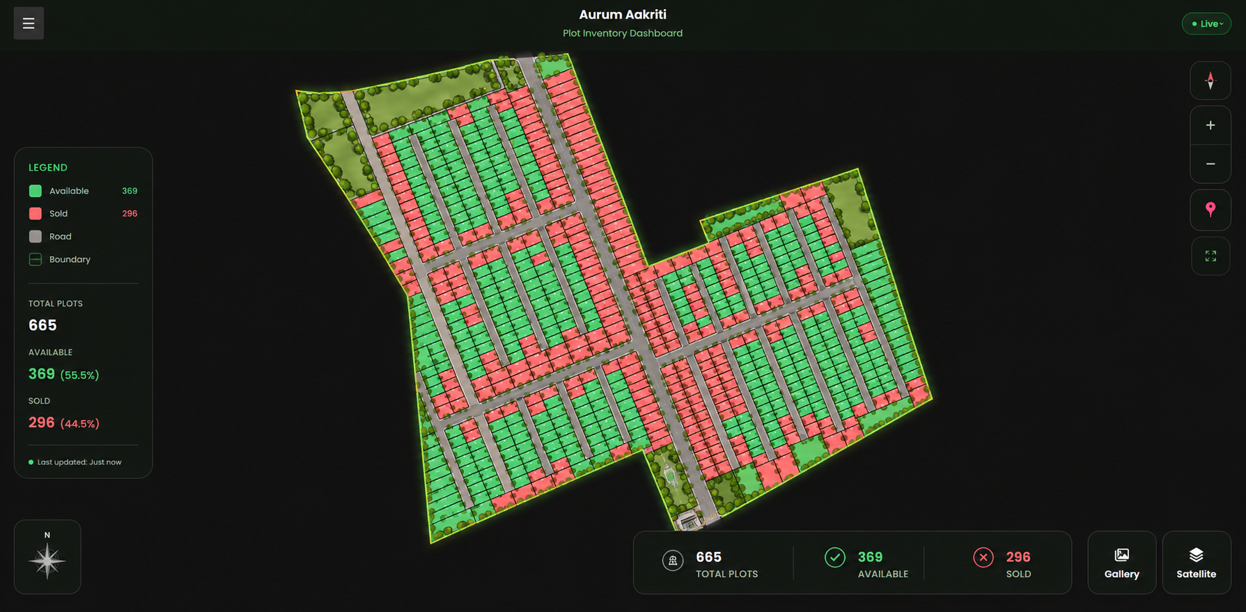
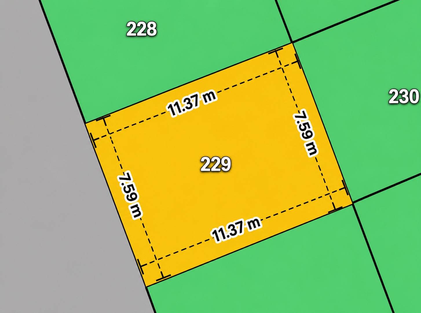
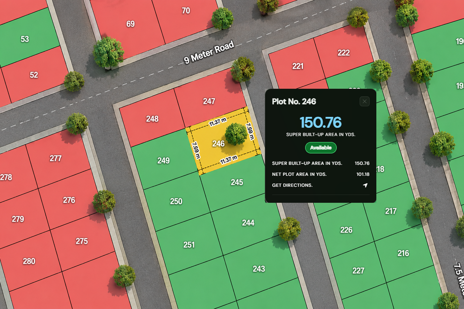
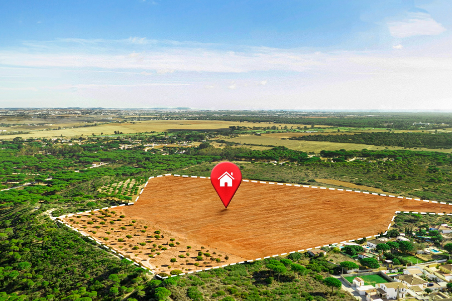
Georeferenced plot boundaries, road networks, and infrastructure on one interactive map.
Master plan, satellite, and hybrid views for complete project context at a glance.
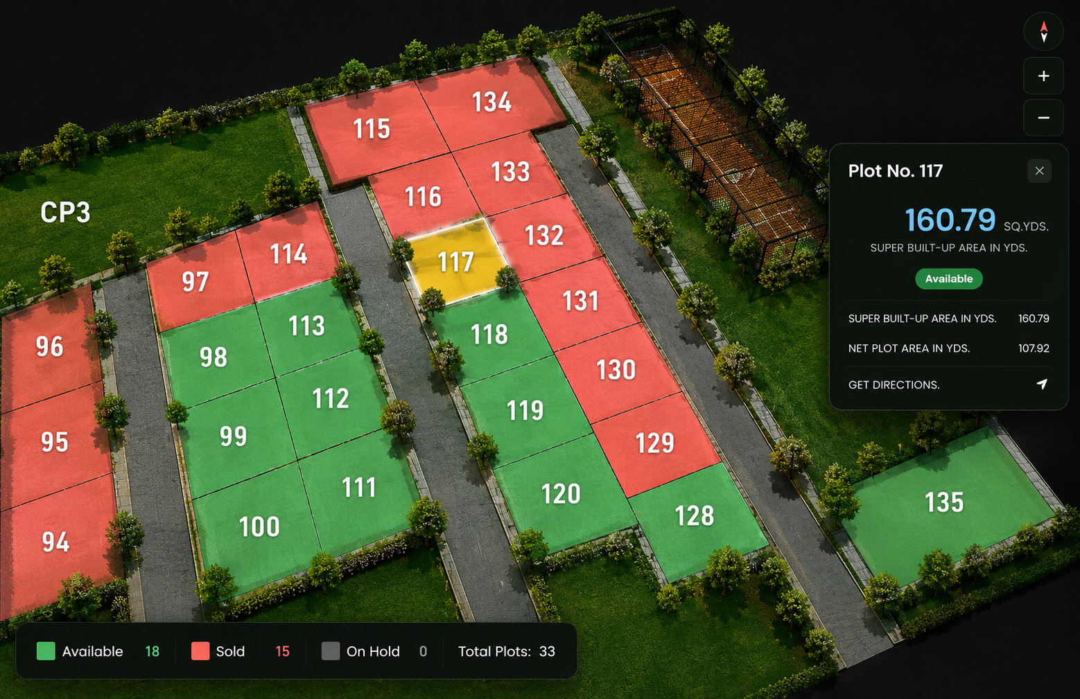
Live available, blocked, reserved, and sold status synced across every plot.
Filter by area, facing, budget, road width, and nearby amenities in seconds.
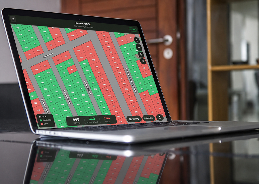
Capture leads, track site visits, and manage sales from one unified dashboard.
Monitor inventory, buyer interest, and project demand with real-time insights.
Document & Compliance Hub
Approvals, layouts, legal documents, and brochures in one central hub.
Shareable Property Portal
A branded portal link for buyers, partners, and sales teams to explore anytime.
3D Property Visualization
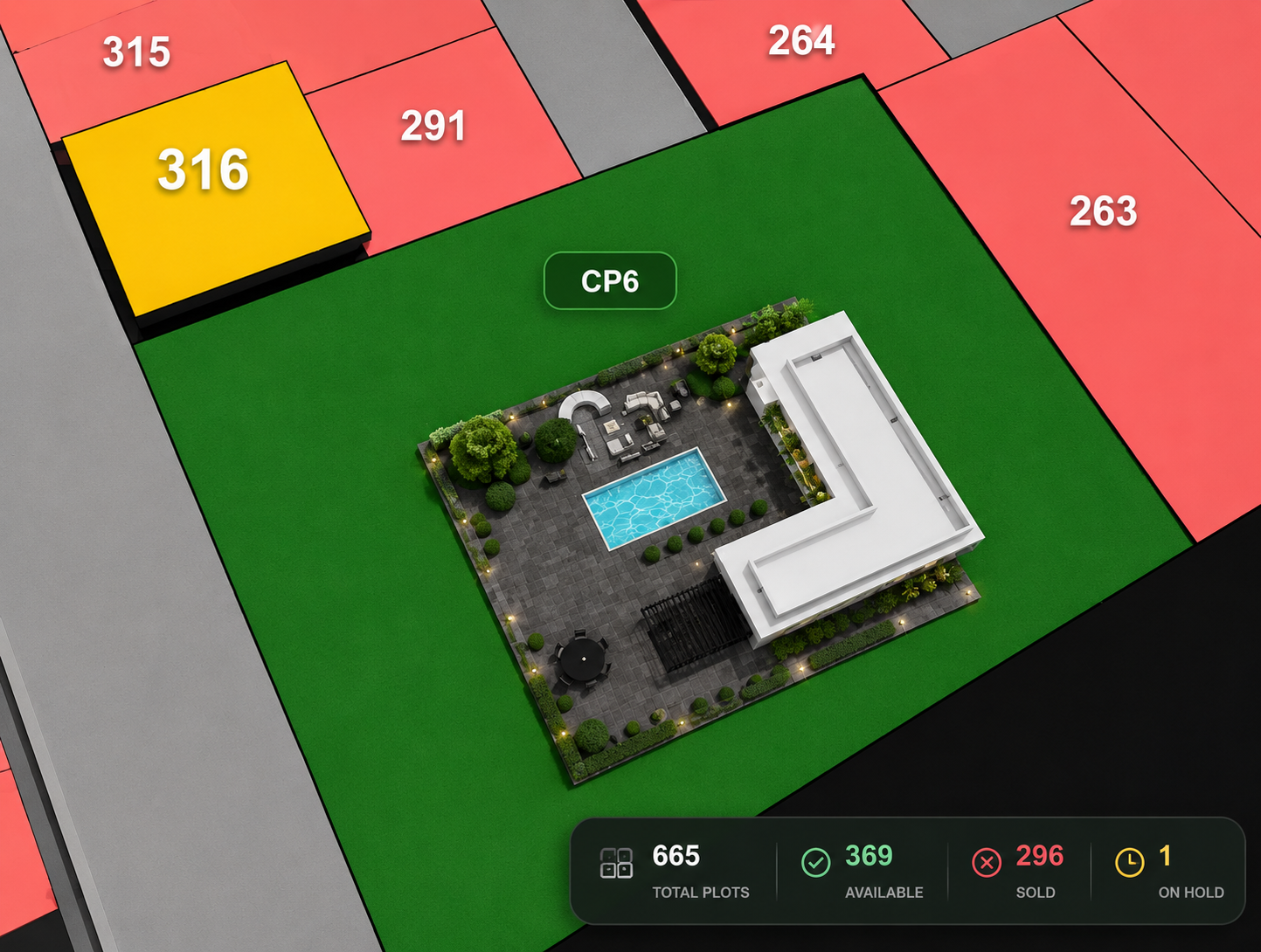
Immersive 3D views of plots, roads, amenities, and project infrastructure.
Nearest Places & Location Intelligence
Nearby schools, hospitals, landmarks, and infrastructure with distance and navigation.
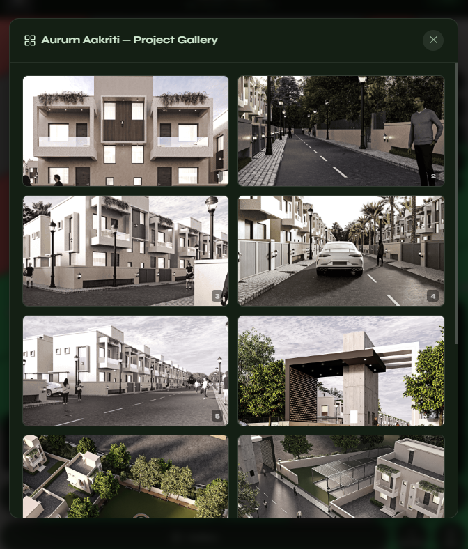
Project Gallery & Virtual Showcase
Premium galleries, master plans, amenities, and marketing visuals in one showcase.
Fully branded portals with custom domains, themes, and company identity.

 alt="Satellite map aerial city view overlay" style="height:440px" />